The Edge-of-Field project is a multi-partner collaboration. The Natural Resource Conservation Service, USDA developed the program which allows direct management of water quality in associated agricultural fields.
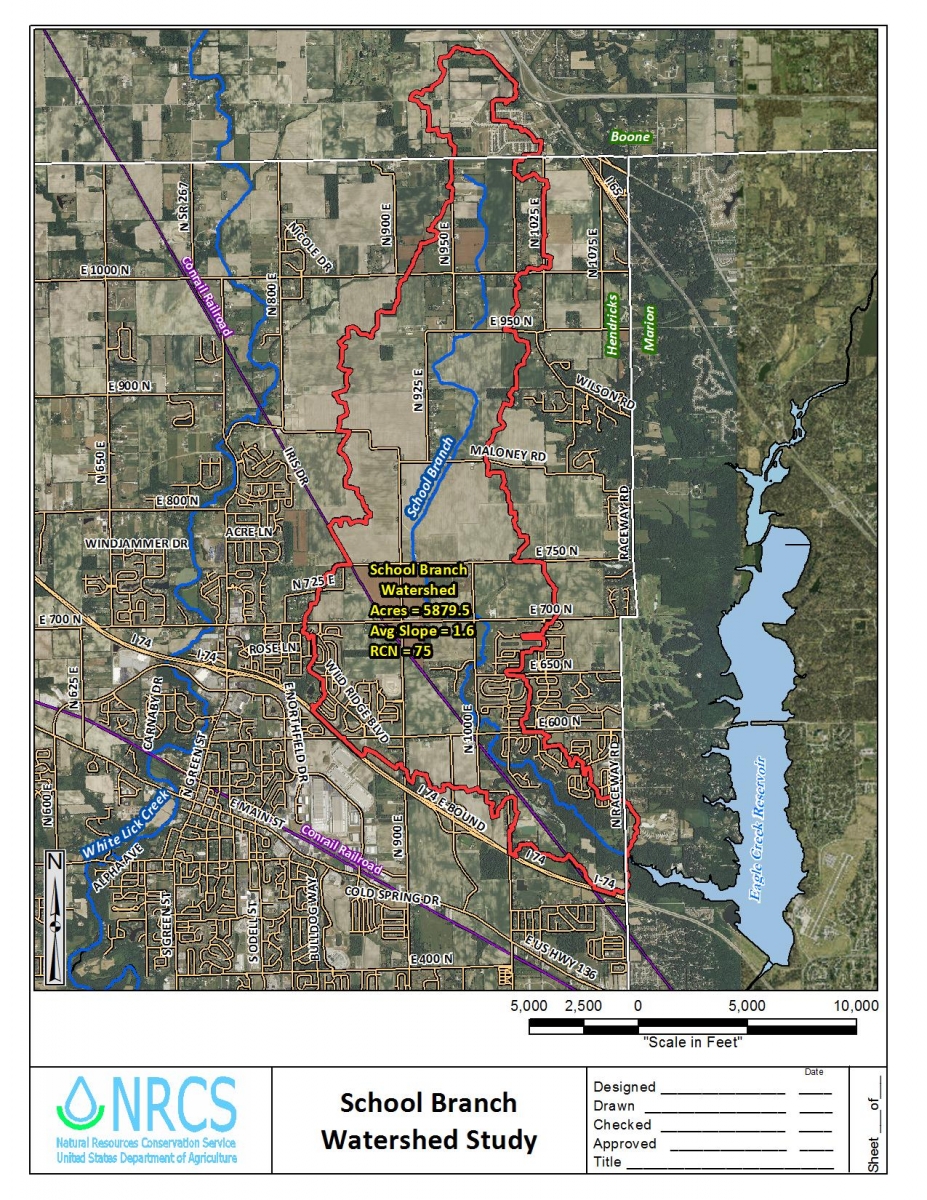
The Starkey Farm Edge of Field Project was the first project to be developed in Indiana. For the next 6 years (2014 – 2020), CEES affiliated scientists and students will be monitoring water quality on Starkey Farms. The EPA, USGS and IGS have also set up monitoring stations along School Branch to track water quality changes as well.
Starkey Farms is located just west of Eagle Creek Reservoir in Hendricks County and is part of the Eagle Creek Watershed. School Branch is a tributary to Eagle Creek that runs through the property and has a watershed area of about 162 square miles. The reservoir and surrounding areas contribute much of the drinking water for the City of Indianapolis and help with flood control.
Though the dominant use of land in the area is agricultural, some areas are undergoing urbanization. This increase in erosion hazard due to disturbance was of special concern with the proximity to the reservoir. Starkey Farms had a notcieable problem with water carving channels through the fields. This had led to a number of conservation practices being employed on Starkey Farms aimed at managing water movement. These include no-till, use of cover crops, micro-application of fertilizer and planting buffer strips.
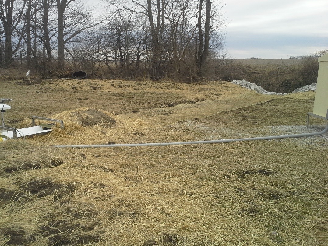
A bioswale has been installed to help filter water as it enters the stream. Mike says that “the combination of no-tillling and cover crops has virtually eliminated ponding that used to happen after heavy rains” and adds that the goal is that water leaving his farm through the bioswale is cleaner than it was when it entered. That is what work by CEES scientists have been assessing, and continue to assess currently, with the Edge of Field project.


